Executive Summary:
British defense technology company Roke is advancing a navigation capability designed to help unmanned ground vehicles maintain accurate positioning when GPS signals are unavailable, jammed, or spoofed. The Roke Exploration Navigation System (RENS) combines inertial navigation, computer vision, and sensor fusion to provide autonomous navigation in tunnels, buildings, underground facilities, and contested battlefields where satellite-based positioning cannot be relied upon.
RENS Targets A Critical Military Vulnerability
The Roke Exploration Navigation System (RENS) is emerging as a notable British contribution to the growing effort to ensure military platforms can operate effectively in GPS-denied environments. The system is designed to provide resilient positioning, navigation, and timing capability for personnel and unmanned systems without relying on external satellite signals.
The capability addresses a challenge that has become increasingly prominent in modern warfare. Military operations in Ukraine, the Middle East, and other contested theaters have demonstrated the effectiveness of electronic warfare systems that disrupt Global Navigation Satellite Systems (GNSS) through jamming and spoofing attacks. These threats can degrade the performance of drones, autonomous vehicles, precision weapons, and command-and-control networks.
How The System Works
RENS combines three core technologies:
| Component | Function |
|---|---|
| Inertial Measurement Unit (IMU) | Measures acceleration, movement, and orientation |
| Computer Vision System | Tracks environmental features and motion |
| Sensor Fusion Processing | Combines multiple data sources to calculate position |
Unlike conventional GPS-based navigation systems, RENS continuously estimates position using onboard sensors and visual references. The system requires only a camera, inertial sensors, and a compact processing unit, allowing deployment on soldiers, unmanned ground vehicles (UGVs), and other autonomous platforms.
Roke states that the technology can provide navigation updates at 10 Hz while maintaining average drift rates of approximately 2.4% in tunnel environments and less than 4% over distances up to two kilometers during extended operations.
The system can function inside buildings, tunnels, underground complexes, and urban environments where satellite visibility is limited or nonexistent. It also operates without requiring preloaded maps of the operating area.
Why GPS Independence Matters For UGVs
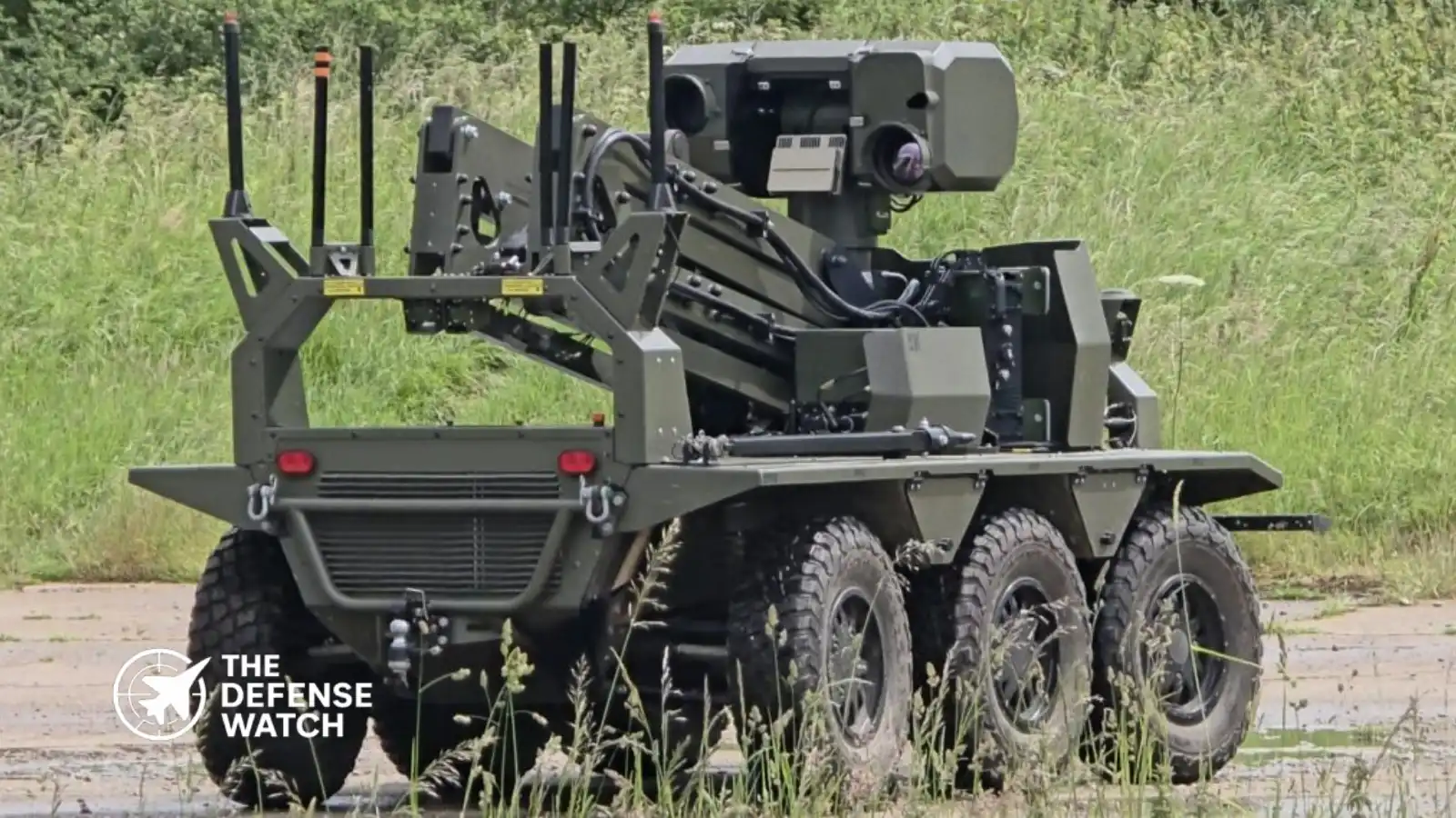
Unmanned ground vehicles are becoming increasingly important across reconnaissance, logistics, route clearance, and combat support missions. However, many autonomous and semi-autonomous systems remain heavily dependent on satellite navigation.
When GPS signals are denied, conventional autonomous navigation systems often experience degraded performance, reduced mission effectiveness, or complete loss of navigation capability. Research into alternative navigation methods has therefore become a major focus for defense organizations worldwide.
For UGV operators, the challenge is particularly acute because ground vehicles frequently operate in environments where satellite reception is naturally obstructed, including:
- Urban canyons
- Underground facilities
- Tunnels
- Industrial complexes
- Dense forests
- Indoor structures
RENS is designed specifically for these conditions, enabling continuous navigation even when external positioning signals are unavailable.
Strategic Importance In Electronic Warfare Environments
The operational significance of GPS-independent navigation extends beyond unmanned vehicles.
Modern military doctrine increasingly assumes that satellite navigation will be contested during high-intensity conflict. Russia, China, Iran, and several other nations have invested heavily in electronic warfare capabilities capable of disrupting GNSS services across wide areas.
As a result, resilient Positioning, Navigation and Timing (PNT) technologies have become a priority area for NATO militaries. Roke’s broader Resilient Precision Navigation and Timing portfolio reflects this trend, focusing on technologies that allow military forces to continue operating despite satellite disruption.
From a U.S. and allied defense perspective, systems such as RENS offer several operational advantages:
- Reduced dependence on vulnerable space-based infrastructure
- Greater autonomy for robotic systems
- Improved survivability in contested electromagnetic environments
- Enhanced situational awareness for dismounted troops and vehicles
- Increased effectiveness during underground and urban operations
These advantages are particularly relevant as NATO forces prepare for potential conflicts involving sophisticated electronic warfare threats.
Technical Challenges Remain
Despite significant progress, GPS-independent navigation remains a technically demanding field.
Traditional inertial navigation systems suffer from cumulative error, commonly known as drift, which increases over time without external corrections. Modern approaches seek to mitigate this limitation by combining inertial sensors with computer vision, machine learning, and environmental feature recognition.
RENS appears to follow this approach by using visual cues to continuously correct inertial measurements and maintain more accurate position estimates. The result is a navigation architecture that can operate autonomously while reducing the long-term accuracy degradation associated with purely inertial systems.
The broader defense sector is pursuing similar efforts across air, land, maritime, and space domains, reflecting a growing consensus that future military operations cannot depend exclusively on GPS.
Growing Demand For Alternative Navigation Systems
The development of RENS highlights a wider shift occurring across Western defense programs. As electronic warfare threats become more sophisticated, militaries are investing in alternative navigation architectures that combine inertial sensing, computer vision, signals of opportunity, and advanced sensor fusion.
For unmanned ground vehicles in particular, reliable navigation in denied environments is increasingly viewed as a prerequisite for future autonomous operations.
By enabling navigation without satellites, RENS demonstrates how next-generation positioning technologies could help maintain battlefield mobility, situational awareness, and mission effectiveness when traditional navigation systems are degraded or unavailable.
Get real time update about this post category directly on your device, subscribe now.