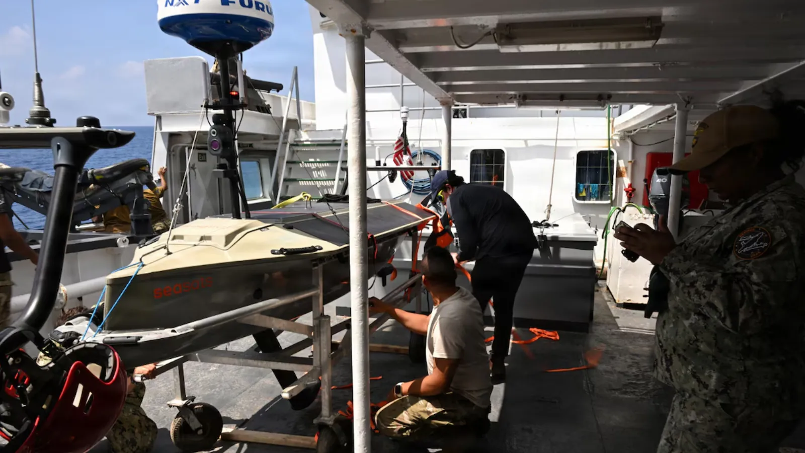

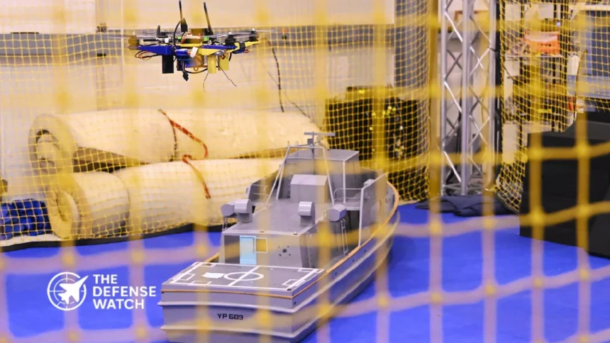
The U.S. Naval Air Warfare Center Aircraft Division (NAWCAD) has demonstrated an unmanned aircraft system that can complete flight tasks and land aboard a moving Navy vessel without relying on GPS or direct pilot control. The demonstration, reported on October 15, 2026, used onboard cameras, motion sensors and autonomous guidance software to support recovery on a pitching ship.
The test addresses a practical problem for naval aviation. When satellite navigation is disrupted by jamming or unavailable, unmanned aircraft may struggle to establish their position and approach a small landing area moving with the sea. The Navy’s approach uses visual information and onboard processing to help the aircraft locate the ship and adjust its recovery path.
How the aircraft lands without satellite navigation
NAWCAD developed the approach through its Maritime Autonomous Guidance-Navigation-Control Intelligent Coupled Systems Lab. Rather than depending entirely on GPS coordinates or specialized equipment installed aboard a ship, the system combines the aircraft’s own sensors with guidance, navigation and control software.
During the approach, onboard cameras identify the ship’s shape and other visual features. The guidance software uses that information to help determine the aircraft’s position relative to the vessel, while control algorithms account for the deck’s changing movement.
This matters because a ship’s landing area is not stationary. Pitching and rolling alter the deck’s orientation, and the aircraft must manage its approach and timing to reach the landing surface safely. A system that can track those changes without satellite positioning could reduce one of the main technical barriers to autonomous shipboard recovery.
The reported demonstration involved a tactical drone. Although NAWCAD says the software is intended to support a range of unmanned aircraft, the public information does not establish that the capability has been qualified for every aircraft type or sea condition.
Why GPS-denied recovery matters to naval operations
GPS signals are vulnerable to deliberate interference. In a contested maritime environment, an adversary could attempt to disrupt satellite navigation to complicate aircraft operations, surveillance and logistics.
An unmanned aircraft that can use onboard sensors to navigate relative to a ship would have an alternative to relying solely on satellite-derived positioning for its final approach. This could help preserve some drone operations in environments where GPS access is unreliable.
The benefit is particularly relevant to ships operating unmanned aircraft for surveillance, reconnaissance or supply missions. Reliable recovery allows a drone to return for reuse, reducing the need to treat every flight as a one-way mission or rely on recovery arrangements that require additional shipboard equipment.
The limits are important, however. GPS-free landing does not mean an aircraft is immune to electronic warfare. Visual navigation may be affected by poor visibility, darkness, obscured cameras, weather, deck conditions or failures in onboard sensors and processing. The available reporting does not quantify the system’s performance under these conditions.
Software could reduce shipboard equipment requirements
Conventional unmanned aircraft recovery systems can require dedicated radar, specialized deck equipment and modifications to the host vessel. According to NAWCAD, these arrangements can cost millions of dollars and take months to install.
A software-based alternative could reduce that burden, particularly aboard ships with limited deck space or vessels that were not designed around a specific unmanned aircraft system. Using sensors already carried by the aircraft may also make it easier to adapt the capability to different platforms.
That does not mean shipboard modifications will always be unnecessary. Each aircraft and vessel combination must still meet applicable safety, integration and operational requirements. The Navy has not published comparative cost figures establishing the savings achievable with the new approach.
From flight demonstration to fleet testing
NAWCAD says the initial flight demonstrations are complete and the software is ready for operational testing on fleet platforms. The center is also working with program offices to move the capability toward acquisition.
Its stated plans include adapting the technology to larger unmanned aircraft, including tactical resupply systems. The organization is also working with program offices associated with the Small Tactical Unmanned Aircraft Systems program, Collaborative Combat Aircraft and the Defense Advanced Research Projects Agency’s EVADE project.
These references indicate potential paths for further development, not confirmation that the technology has been selected for operational deployment on those programs. No fleet fielding date, production order or completed qualification for larger aircraft was identified in the available reporting.
The project received funding through the Naval Innovative Science and Engineering Program and the Office of Naval Research, according to the published coverage.
The next meaningful milestone will be operational testing aboard fleet platforms. That phase will help establish whether the approach can deliver reliable recovery across the conditions, aircraft configurations and shipboard environments encountered in naval service.
For now, the demonstration provides evidence that camera-based navigation and onboard guidance software can support GPS-free recovery of a tactical drone on a moving vessel. Its wider value will depend on how reliably the technology performs outside the initial test environment.